Introduction
Geospatial mapping is a form of spatial analysis technique. This technique uses sophisticated software that analyzes data about geographical or terrestrial databases through the use of Geographic Information Systems (GIS).
Geospatial mapping is different from traditional mapping, as geospatial mapping provides you with computerized data that can be used to create a custom map designed for your needs.
Geospatial Data Sites for Users
Creating a geospatial map is easy with the right tools. Thanks to advanced technology and widespread use of the internet, you can freely find helpful information on Google. Some of the Geospatial data available can be drawn from:
National Historical Geographic Information System
This provides you with data files needed to make historical maps; the data reaches back to the U.S. 1790 Census. The data includes geographical degree, data type, common topic, and dates.
Geospatial Platform
This is an intermediate site that you can use to search for geospatial data that is made by federal agencies. It offers Gallery and Featured maps that allow you to search for the most desired maps. You can also use 'Build Your Own Map' to create a customized map that you can download, print, and share.
Geospatial Technology
Geospatial technology plays a significant role in geospatial mapping; this technology acquires earth data, which is used in modeling, visualization, analysis, and simulation of maps. It comprises of various field studies such as:
Remote Sensing
This assists in the collection of geospatial data and satellite images from satellite sensors or airborne cameras. Satellite imagery enhances GIS mapping projects and gives you information for support analysis, modeling, and geospatial assessment classification.
Global Positioning System (GPS)
GPS is a satellite-based navigation system that is essentially just a network of 24 satellites in orbit. It is used for collecting coordinate locations. You can install GPS on your fleets for easy tracking and monitoring, which can be accomplished by configuring the system to a smartphone.
Today, there are hundreds of geospatial technology applications in use globally. Many people and organizations are using GPS technology to transform manually-created maps and records into robust digital databases. You can also access modern Geospatial mapping tools for free on various websites. These tools contribute to geographic mapping, and analysis of human and earth societies. They include:
QGIS Software
QGIS is an all-in-one tool that allows you to automate map production, create spectacular cartographic figures, and process geospatial data. The software is made up of plugins made by the QGIS community and can be combined with QGIS Stack Exchange for support.
uDig Software
You can use this software for elemental mapping; the Mapnik feature allows you to import base maps. It is easy to use and offers Mac and OS functionality, symbology, and catalog functionality.
Simply Analytics
This website allows you to quickly generate reports and executive interactive thematic maps using sturdy business, demographic, and marketing information.
Google Earth
This website enables you to virtually traverse across the world and view maps, terrains, satellite images, and 3D buildings. It is rich in geographical material and provides a realistic global view.
Geographic Resources Analysis Support System (GRASS GIS)
GRASS GIS allows you to process maps and perform unique modeling for free. It is commonly used in schools, commercial businesses, government agencies, and consultancy firms.
TileMill
TileMill is a special tool for cartographers that helps you design maps for your website using customized data easily.
Uses of Geospatial Mapping
Geospatial mapping can be applied in several ways, and for many reasons. Here, we look at some of the most practical uses.
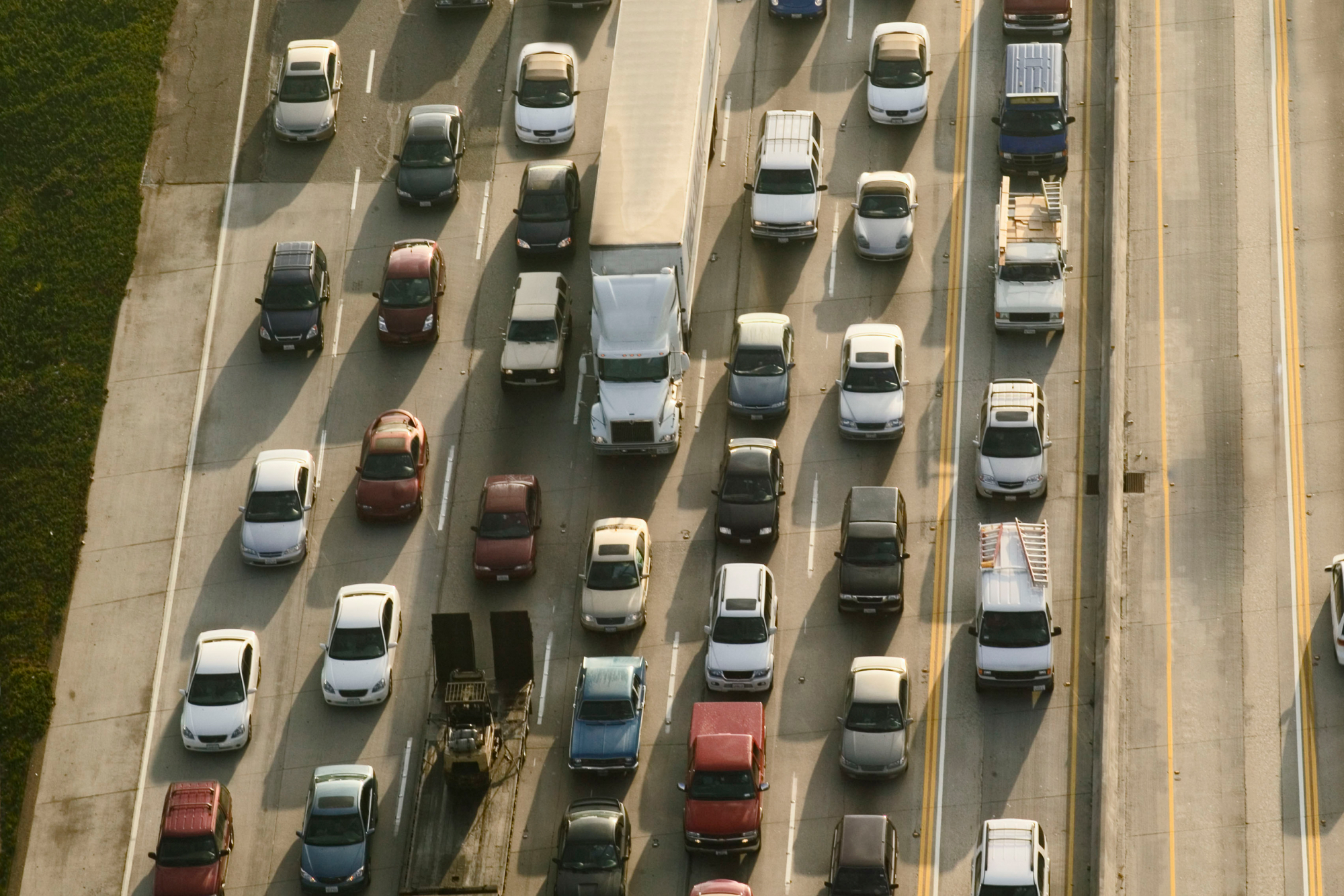
Route Optimization
Fleet managers can effectively apply mapping in fleets, helping managers and drivers save time on the road. When routes between various locations are optimized, companies save a lot on fuel consumption, and most importantly, gain back valuable time.
Mapping Change
You can use geospatial technology to map changes in a particular geographical area; this helps predict future conditions for planned routes, choose the most optimal course of action, or evaluate policy outcomes. For instance, using land maps of a specific place to show residential development changes can help the community in policy planning processes.
Mapping densities
You can also use geospatial mapping to analyze key mapping densities, such as a certain area’s population.
Locating what is inside and nearby
You can find out what is happening within a given distance of an event by mapping what is closeby using BUFFER. You can also make use of GIS to determine what is inside a specific location.
Advantages of Geospatial Mapping With GIS
There are plenty of benefits that come with the use of technology in geospatial mapping. In the case of Geographical Information Systems, myriad advantages can be realized:
- Visualization of spatial information
- Mapping solutions for challenges faced, like modeling natural disaster activities
- Quick data collection required for geospatial mapping
- Better analysis and predictions
- View, criticize, comprehend, visualize, and interpret information in different ways that disclose maps, relationships, patterns, and trends
- Answer your questions on maps, solve issues, and analyze data in a simple, meaningful manner
Disadvantages of Geospatial Mapping With GIS
- Its error is directly proportional to the increase in the map size, considering the earth is not an even circle
- It requires you to have a huge amount of information for it to be practical; otherwise, there can be many errors
Conclusion
Many people benefit from geospatial mapping, including travelers, meteorologists, scientists, engineers, and explorers. More recently, this technology has been applied widely in the transport industry, especially in fleet management. GIS is proving a beneficial tool in this business, as fleet managers utilize it for fleet optimization to bolster their bottom line.